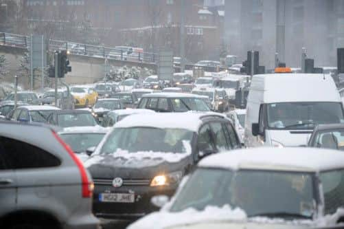
Video: Six inches of snow... and a nightmare commute home


Leeds was particularly badly hit, with reports of abandoned cars and slow moving traffic on all main routes out of the city.
There were dozens of minor shunts on icy surfaces - and conditions were set to worsen overnight as the snow turns to rain and freezes.
Advertisement
Hide AdAdvertisement
Hide AdThe cold snap will be short lived, though, heralding drier, warmer and sunnier weather for the rest of the week, forecasters predict.
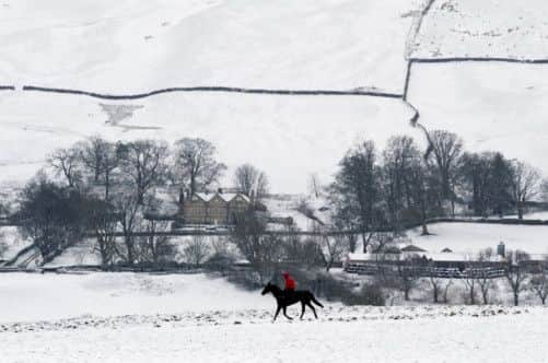
The Met Office has issued severe weather warnings for much of Scotland and northern England for today, advising people to be aware of snow fall.
Snow will move into western Scotland on Wednesday morning and pass eastwards throughout the day across most parts of the UK, although west Wales, south west England and coastal parts of the South will see rain instead.
Sally Webb, a forecaster with MeteoGroup, the weather division of the Press Association, said snow would hit the Midlands later in the morning and London and East Anglia at about 4pm. But later in the afternoon it will begin to clear and turn increasingly to rain and drizzle in western areas as milder air begins to move in.
Advertisement
Hide AdAdvertisement
Hide Ad“We will see up to 2cm (1in) across the South East throughout the day, 2cm to 5cm (1in to 2in) quite widely, and over higher ground and in the North up to 8cm (3in), or 10cm (4in) across higher ground,” Miss Webb said.
“In Scotland there will be 4cm to 7cm (2in to 3in) widely, and 15cm (6in) expected on higher ground. Overnight it will turn to patchy rain and drizzle across the UK, before a band of heavy rain moves in during the early hours. It will also be windy today, especially across northern Scotland.”
Temperatures will hover at about 2C to 3C (36F to 37F) in most places, though they could reach 10C (50F) in the South West or 12C (54F) in Northern Ireland.
“As soon as the snow moves through it does get a bit milder,” Miss Webb said. “It will be milder for the rest of the week, mainly dry with sunny spells and cloud.”
The Environment Agency has 88 flood alerts in place, mainly in the South East, and 12 more serious flood warnings.