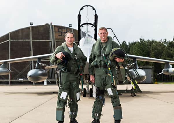
Hi-tech Tornado mission highlights the quality of D-Day planning


The RAF Tornados swooped to take the pictures using technology unavailable to their Second World War counterparts.
Mirroring images taken by their forebears 70 years ago, the new photographs took just one flight to create compared to some 30 sorties flown during the Normandy landings.
Advertisement
Hide AdAdvertisement
Hide AdWing Commander Jez Holmes said: “After imaging the D-Day beaches from 20,000 ft using the same type of reconnaissance pod that we were flying with in Afghanistan only a fortnight ago, we flew down the beaches at 1,000 ft replicating the original flight.
“Whilst the fortifications at Pont Du Hoc and the remains of the Mulberry Harbour are visual reminders of the events of 70 years ago, it is difficult to imagine the apocalyptic vision that he was faced with. Today, the technology that we use has changed, allowing us to fulfil the same missions further, faster and with stand-off and precision.”
Flying at 400 mph at 20,000 feet over Gold, Juno, Utah and Sword beaches, the two Tornados, from II (Army Co-operation) Squadron, replicated the images during a two hour sortie.
On D-Day itself, June 6 1944, a II (AC) Squadron Mustang, piloted by Air Commodore Andrew Geddes, brought back the first pictures of the Normandy landings.
Advertisement
Hide AdAdvertisement
Hide AdTwo other aircraft were also over the beaches when the first landing craft touched down. They used bulky cameras loaded to the bottom of the aircraft and took more than 30 sorties to take a panoramic image.
In contrast the Tornados took just one flight using modern camera pods.
RAF Marham’s Tactical Imagery Intelligence Wing (TIW) provided planning support, as well as downloading and processing the high-resolution digital images.
Wing Commander Mark Smith, from TIW said: “Whilst the technology involved has changed, the basic principles and skills that our imagery analysts employ today would be instantly recognisable to the veterans of D-Day.”