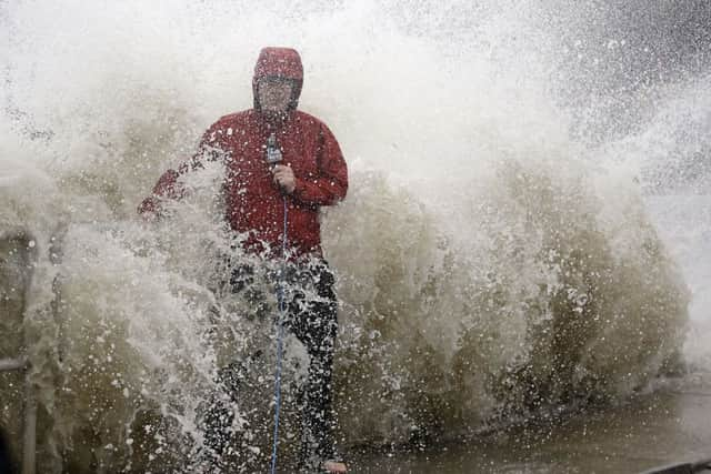
Hurricane Hermine blows into north-west Florida with 80mph winds


As people braced for the first direct hit on the state from a hurricane in over a decade, the former tropical storm’s top sustained winds rose from 75mph in the afternoon to 80mph by nightfall.
Hermine gained new fury as it bore down on the coast, and forecasters warned it would probably gain even more punch before slamming ashore.
Advertisement
Hide AdAdvertisement
Hide AdIts landfall was expected in the Big Bend area - the mostly rural and lightly populated corner where the Florida peninsula meets the Panhandle.
Hermine will then drop back down to a tropical storm and push into Georgia, the Carolinas and up the East Coast with the potential for drenching rain and deadly flooding.
Florida Governor Rick Scott warned of the danger of strong storm surge, high winds, downed trees and power outages, and urged people to move to inland shelters if necessary and make sure they had enough food, water and medicine.
“This is a life-threatening situation,” he said. “It’s going to be a lot of risk. Right now, I want everybody to be safe.”
Advertisement
Hide AdAdvertisement
Hide AdHe said 6,000 National Guardsmen in Florida are ready to mobilise after the storm passes. The governors of Georgia and North Carolina declared states of emergency.
The last hurricane to strike Florida was Wilma, a powerful Category 3 storm that arrived on October 24 2005. It swept across the Everglades and struck heavily populated south Florida, causing five deaths in the state and an estimated 23 billion dollars (£17.3 billion) in damage.