Newly-discovered map reveals the World War Two 'invasion plan' put in place in a Yorkshire market town
Yet documents on display at a new local history exhibition reveal the fascinating extent of the detailed plans made for the town's defence had the Nazis landed on British shores during World War Two.
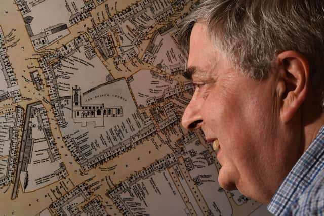
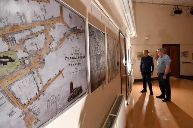
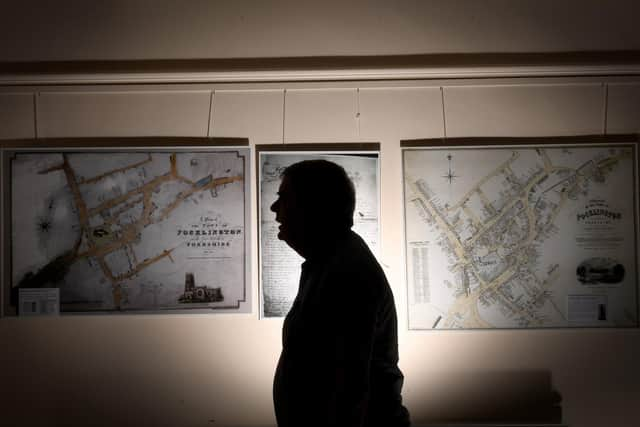
Curators of the exhibition about local maps from the 1300s onwards were astonished when, two weeks before it was due to open to visitors at Pocklington Arts Centre, a man came forward to donate a piece of cartographical history that few knew had survived.
Advertisement
Hide AdAdvertisement
Hide AdFor around 20 years, John Plaistowe had owned the last remaining copy of a map of Pocklington issued to the Home Guard company tasked with protecting the town and its surrounding villages.

Around 30 men served with the volunteer unit - most too old for overseas deployment - and its captain was Tony Thoday, who lived in Clock Mill after the war. When he became infirm, Mr Plaistowe's wife cared for him, and after his death he left the map to her and her husband.

Local archivist Andrew Sefton was amazed to see the plan, which includes the locations of barricades that would have been laid across the main roads to delay invading convoys, as well the 'zones' the town would have been divided into under the command of smaller Home Guard detachments.
Back in 1939, when the map was published, it would have been distributed alongside an 'invasion plan' - an inventory of people, buildings and even farm equipment and the allocation of their designated roles should the invasion happen.
Advertisement
Hide AdAdvertisement
Hide AdAlthough Pocklington's has not been traced, one of only three known examples to still exist in the East Riding has been secured to go on display with the map - the invasion plan for Bishop Wilton, a village five miles away.
Many of these sensitive and confidential documents would have been destroyed after the war without the ordinary people named in them ever knowing what their job would have been had the country fallen.
They were produced as booklets by invasion committees according to government criteria. Bishop Wilton's was chaired by the parish vicar, Reverend Richard Fawcett, and passed to the village school's headteacher Alan Hobbs in 1962.
The Reverend Fawcett would have been a busy man had invasion succeeded - his positions included head warden, bomb reconnaissance officer, incident officer instructor and food organiser. His deputy chairman was the landlord of The Fleece Inn, and emergency rations were stored in the pub.
Advertisement
Hide AdAdvertisement
Hide Ad"Bishop Wilton's only survived because the local schoolmaster kept it in his possession. It lists everybody in the village and what their roles would have been - such as first aider or carer for the children. It even lists all of the tractors and which farmer they belonged to so that they could be requisitioned for the resistance effort," said Mr Sefton.
"Pocklington would have had a similar plan and we have never traced it. We would love to know if it still exists.
"Perhaps it has survived among someone's memorabilia. It is an extremely important historical document. We didn't even know the map existed until two weeks ago!"
The Home Guard archive also includes a photograph of the 30 men in the unit, though not all are named and little is known of their pre-war backgrounds. Mr Sefton is keen for anyone whose relatives may have served to attend the exhibition and help to identify them.
Advertisement
Hide AdAdvertisement
Hide Ad"It's amazing the amount of detailed planning that went into it all. In Bishop Wilton, the church would have been a first aid post and the school and village hall turned into rest and feeding centres. It was so well-organised. The tractors were all itemised in detail - in many ways there are similarities to what is happening in Ukraine now.
"The people on the list are all from Bishop Wilton families whose descendants still live there today."
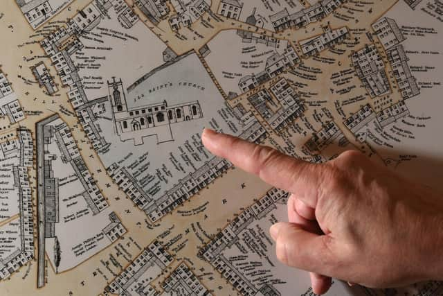
The exhibition also includes 1850s maps drawn by local cartographer William Watson of Seaton Ross, known for his eye for detail, and an old map which shows Pocklington's parish church in 1360, before the tower was built in the 1400s.